Coleccion Aruba
>
Browse/Search
> Search:
subject:"maps" AND mediatype:texts
Sorted by:
Publication Date
More options:
Date Uploaded
Views
Title
Showing results
1
-
27
of
27
total.
Showing:
Metadata
search results for keyword(s):
subject:"maps" AND mediatype:texts
Show only:
subcollections
texts/documents
images
videos
audio files
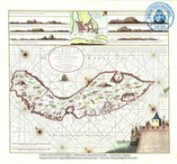
Poster: Nieuwe Afteekening van het Eyland Curacao (reproductie) (BNA Poster Collection # 003)
Verscheyde voorname reysen, na West-Indien en andere gewesten, gedaan door den hoog-agtbaren Georg, Graaf van Cumberland, of op sijn kosten, en onder sijn beleyd, van het jaar 1586. tot 1598. Breeder op de volgende bladzijde vermeld. Waar in veele aanmerkenswaardige saken op die voyagien voorgevallen, verhaald werden.
Voyagie na West-Indien, gedaan door David Middelton, met kapiteyn Michael Geare, in 't jaar 1601. Mitsgaders de Scheepts-togt van Georg Weymouth. Gedaan in 't Jaar 1602. Om in het Noord-Westen een opening na China te ontdekken
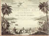
The West Indian Atlas or a general description of the west Indies : Taken from actual surveys and observations (1775)
Beschryving van het eiland Curaçao en de daar onder hoorende eilanden (1779) - J. H. Hering
Diccionario geográfico-histórico de las Indias Occidentales ó América. Es á saber: de los reynos del Perú, Nueva España, Tierra Firme, Chile, y Nuevo reyno de Granada
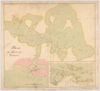
Plano del Puerto de Curacao (1807)
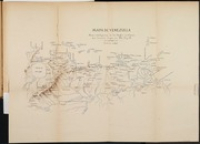
Mapa de Venezuela - Para inteligencia de los hechos militares que tuvieron lugar en 1810, 11 y 12
Carey's general atlas, improved and enlarged : being a collection of maps of the world and quarters, their principal empires, kingdoms, &c.
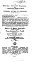
The American universal geography : or, A view of the present state of all the kingdoms, states, and colonies in the known world
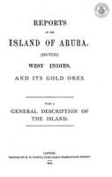
Reports on the island of Aruba (Dutch) West Indies and its gold ores; with a general description of the island
Westindische Skizzen : Reise-Erinnerungen
IV. Amerika Geologische kaarten van Curacao, Aruba en Bonaire, Br N 11-275
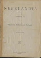
Neerlandia - Aruba-nummer (1911)
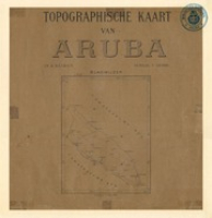
Topographische Kaart van Aruba (1912) - Werbata-Jonckheer
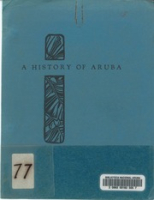
A History of Aruba (1940) - Pan-Aruban (Lago Refinery)
Historie en oude Families van de Nederlandse Antillen : Het Antilliaanse patriciaat (1951)
The Netherlands Antilles : Their Geography, History, and Political, Economic and Social Development
De Nederlandse Antillen
The Netherlands Antilles : Their Geography, History, and Political, Economic and Social Development
Schakels - Sint Maarten, Sint Eustatius, Saba en Bonaire (NA 38, 1962)
Poster: Map : Aruba One Happy Island (BNA Poster Collection # 102)
Visit Aruba's sunrise side : a visitor's guide
Landscape Series – Complete series of 6 chapters
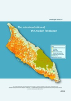
The suburbanization of the Aruban landscape : Landscape series 4
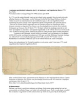
Arubaanse geschiedenis in kaarten, deel 1: de kustkaart van Engelbertus Horst, 1773; deel 2: Lloyd, Spengler/Van Raders en Gravenhorst, 1815-1828
Ruimtelijk Ontwikkelingsplan Aruba 2019 (concept 1 Oktober 2019)
Showing results
1
-
27
of
27
total.
coleccion.aw - Un solo portal pa e herencia documental y audiovisual di Aruba.Mas informacion/contribui/bira partner:
Tuma contacto cu nos!