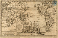
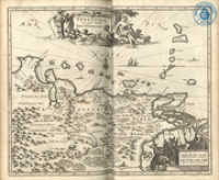
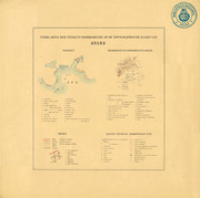
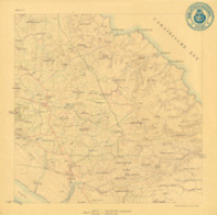
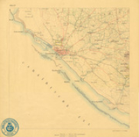
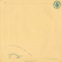
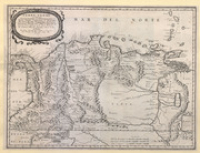
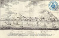
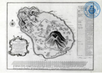
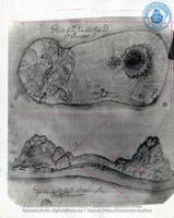
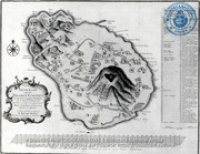
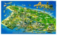
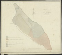
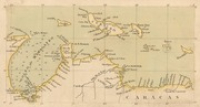
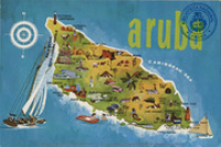
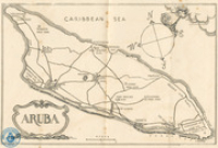
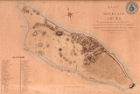
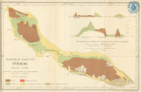
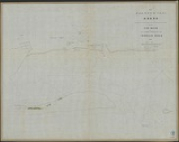
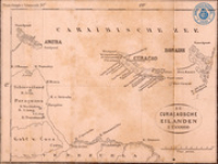
Aruba Map Collection
Maps of Aruba and the Caribbean / Mapa di Aruba y di Caribe / Kaarten van Aruba en het Caribisch Gebied.
Part of the digital collections of Biblioteca Nacional Aruba.
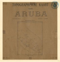
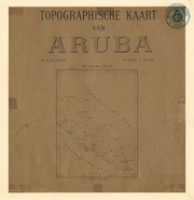
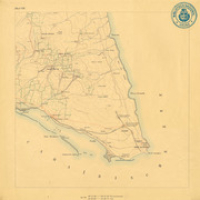
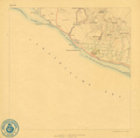
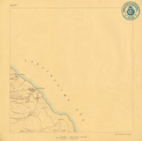
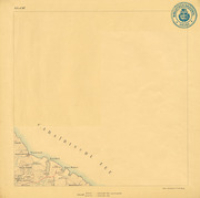
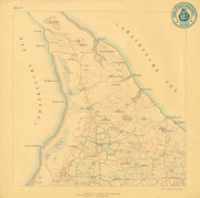
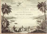
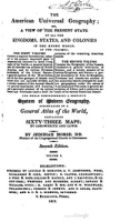
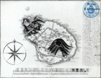
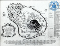
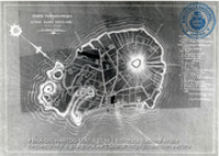
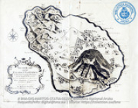
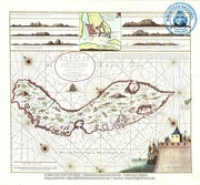
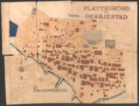
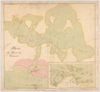
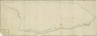
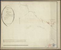
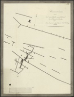
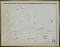
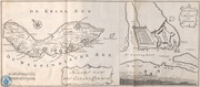
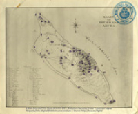
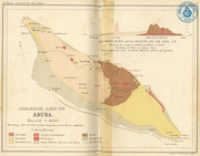
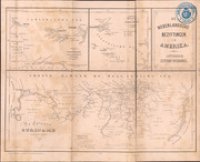
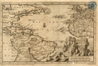
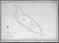
Maps of Aruba and the Caribbean / Mapa di Aruba y di Caribe / Kaarten van Aruba en het Caribisch Gebied.
Part of the digital collections of Biblioteca Nacional Aruba.